Hiking in San Simeon offers a vast array of beauty, giving visitors the chance to see rolling hills, rocky cliffs and turquoise waters all in one amazing place. Explore the Central Coast by foot and discover an adventure around every corner. With a large assortment of hikes and a varying landscape, every age and experience level can join in on the fun.
San Simeon Hiking
Boucher Trail at Piedras Blancas
Miles: 3.8 Miles Round Trip
Type of Trip: Semi-Loop
Difficulty: Easy
Hiking Time: 1.5 – 2 Hours
Elevation Gain/Loss: 75 ft +/-
Location: San Simeon
Directions: Park at either the Main Elephant Seal Vista Point or the small parking lot a quarter mile north, if traveling south to north. The trailhead for the hike starts on the north end where the elephant seal viewing trail is. Follow the trail along the bluff heading up the coast.
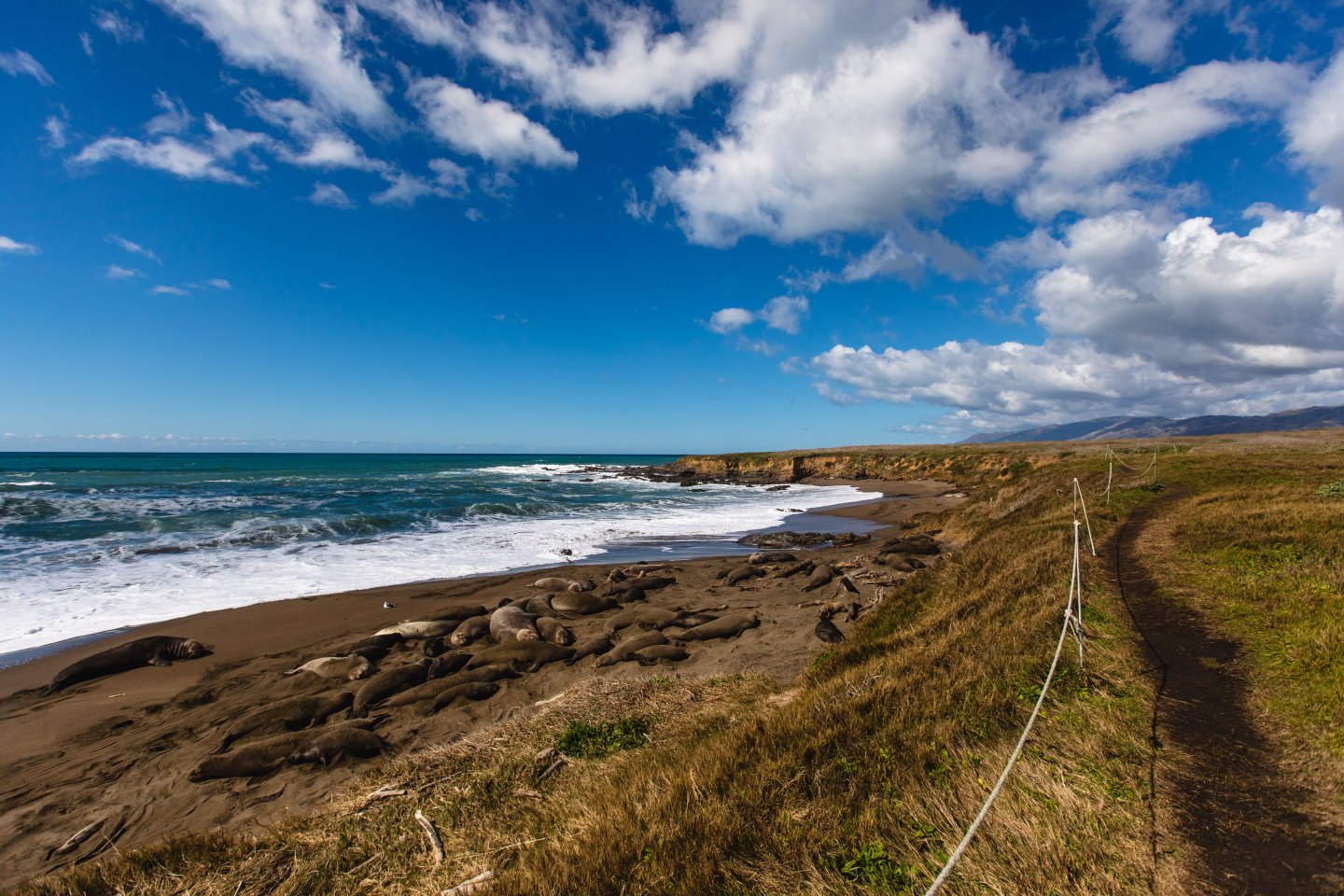
Trail Overview: View the elephant seals away from the crowds with this secluded coastal trail. Walk along rolling, coastal bluffs featuring views of the Piedras Blancas Light Station. This is a family-friendly hike, but dogs are not allowed on the trail.

The Boucher Trail in San Simeon is a low intensity hike for all ages.
Junge Ranch Trail
Miles: 2.2 Miles Round Trip
Type of Trip: Out and Back
Difficulty: Easy
Hiking Time: 1.5 – 2 Hours
Elevation Gain/Loss: 82 ft +/-
Location: San Simeon
Directions: Heading North from Cambria on Highway 1, turn left on to Lone Palm Dr. after the San Simeon State Park Campground’s parking lot. The trail head is at the end of the road.
Trail Overview: Spend the day exploring the coastline with a hike that takes you through low bluffs and the option to explore the tide pools. This is a family-friendly hike that is suitable for all skill levels. The trail is dog friendly, though dogs must be on a leash.
San Simeon Point Trail
Miles: 2.5 Miles Round Trip
Type of Trip: Out and Back
Difficulty: Easy
Hiking Time: 1.5 – 2 Hours
Elevation Gain/Loss: 100 ft +/-
Location: San Simeon
Directions: Park at Hearst Castle Beach State Park and walk to the beach. As you walk nearly a quarter mile along the beach, you will see a dirt trail on your right begin to ascend the hillside. Follow that trail along the bluff and continue on San Simeon Point Trail.
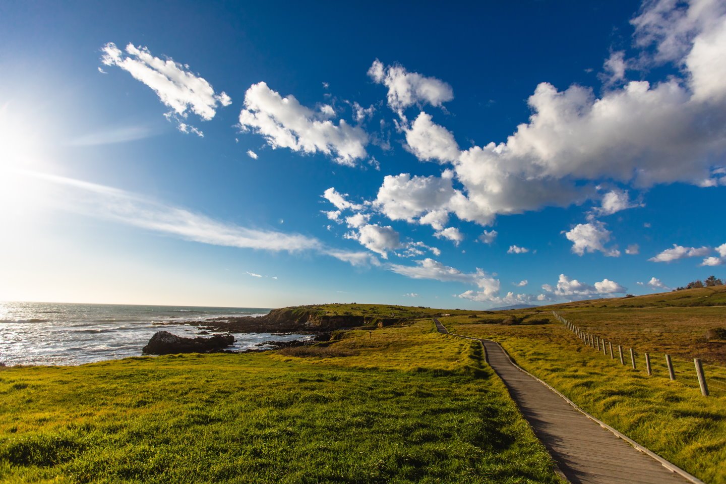
Trail Overview: Make your day at the beach into an adventure with this perfect hike along the bluff. Depending on the season, as you near the bluff by the ocean and rocks, you will see baby birds nested in the Eucalyptus trees and along the cliffsides. Continue walking to the point for a broad view of the Central Coast. This hike is family-friendly and dog friendly, though dogs must be on leashes.
San Simeon Trail
Alternative Names: San Simeon State Park Trail, Washburn Campground Trail, San Simeon Creek Trail
Miles: 3.5 Miles Round Trip
Type of Trip: Semi-Loop
Difficulty: Easy
Hiking Time: 1.5 – 2 Hours
Elevation Gain/Loss: 433 ft +/-
Location: San Simeon State Park, Washburn Campground
Directions: Begin at the “Washburn Day Use Area,” inside the San Simeon State Park Campground. Park in the lot near the public restrooms. The trailhead is 200 yards East of the parking lot and is located along a boardwalk that also leads down to the beach.
Trail Overview: Explore the old San Simeon Ranch while passing through marshes, pine forests, riparian habitats and open grasslands. During the springtime an abundance of wildflowers can be found growing along this trail. The hike is family-friendly and easy to follow. This hike is not dog friendly.
Hiking the San Simeon Point Trail
Ragged Point Hiking
Black Swift Falls at Ragged Point
Alternative Names: Ragged Point Cliffside Trail
Miles: 0.8 Miles Round Trip
Type of Trip: Out and Back
Difficulty: Difficult
Hiking Time: 0.5 – 1.5 Hours
Elevation Gain/Loss: 300 ft +/-
Location: Ragged Point
Directions: Park at Ragged Point Inn and walk North near the bluff. Follow the trail down the 300 ft cliffside to experience the full hike. Be very cautious this hike can be slippery and wet after rain. The hike is also steep, so sturdy shoes are necessary.
Trail overview: With rewarding views of the Big Sur coastline, hike down the cliffside for one more special view: a waterfall. This waterfall cannot be seen from the top of the trail, but it pours off the cliffside. Be welcomed by the cliffside birds and warm black sands as you hike down this trail. Due to the steepness and terrain, this hike is only recommended to children who are of age. This trail is dog friendly, though dogs must be on a leash.
San Carpoforo Creek
Miles: 2 Miles Round Trip
Type of Trip: Out and Back
Difficulty: Easy
Hiking Time: 1 – 2 Hours
Elevation Gain/Loss: 137 ft +/-
Location: Ragged Point
Directions: Drive just past Ragged Point, if you are heading from the South or stop just before Ragged Point if you are traveling from the North. There will be parking by the side of Highway 1 where you will find the trail head for this hike.
Trail Overview: This short hike allows any traveler to park the car and stretch their legs while exploring the Gateway to Big Sur. This hike will lead you to the beach where you can relax and enjoy the sun. There is a creek that runs along the trail and flows into the ocean. This hike is family-friendly and dog friendly, dogs must be on a leash.

Amazing scenery from Black Swift Falls in Ragged Point.
Hiking the Black Swift Falls Trail
Southern Big Sur Hiking
Buckeye Trail and Campground
Miles: 6.5 Roundtrip
Type of Trip: Out and Back
Difficulty: Moderate
Hiking Time: 3.5 – 4 Hours
Elevation Gain/Loss: 1,450 ft +/-
Location: Los Padres National Forest
Directions: Head North from Ragged Point for 3.7 miles to the Salmon Creek Ranger Station. Then pull over and park to reach the trailhead. Start at the Soda Springs trailhead.
Trail Overview: As the trail begins, you’ll be taken South toward the southernmost grove of redwood trees in the area. Then climb the switchbacks until you reach the ridgeline of the trail. With sweeping views of the Central Coast, this hike intersects with many others to explore the wilderness. Buckeye Camp is located inside an oak grove and near a meadow. This is an overnight hike and is for experienced hikers. The trial is dog friendly, though dogs must be on leash.
Jade Cove Trail
Miles: 2.2 Mile Round Trip
Type of Trip: Loop
Difficulty: Easy
Hiking Time: 1.5 Hours
Elevation Gain/Loss: 30 ft +/-
Location: Near Sand Dollar Beach
Directions: South of Sand Dollar Beach, you will find two dirt pullouts for Jade Cove. There will be a sign marking Jade Cove Recreation Area. Once you park look along the bluff for a trailhead marking where to start.
Trail Overview: This is a short and flat trail that hugs the coastline. Along this hike there is another trail that will bring you down to the beach where you can hunt for jade. Please review local rock collecting guidelines. There are wildflowers and coastal succulents that can be seen throughout the trail. This trail also has rewarding views of the coastline that stretch to the pristine rugged cliffs of Big Sur.
Limekiln Trails
Hare Creek Trail
Miles: 2.2 Mile Round Trip
Type of Trip: Out and Back
Difficulty: Easy
Hiking Time: 1 – 2 Hours
Elevation Gain/Loss: 551 ft +/-
Location: Limekiln State Park
Directions: Start your hike from the small day-use parking area just past the park's entrance kiosk. The route starts next to the restrooms adjacent to the parking lot, following the access road for the park's upper campground sites. At the far end of the campground, a narrow trail continues on a wooden bridge over Hare Creek and then quickly reaches a T-junction.
Trail Overview: This hike follows the Hare Creek with picturesque views of the clear water running through the groves of trees. This trail takes you through redwood tree groves and is less trafficked than the other trails. This hike ends at the Hare Creek Grove where you can pause for lunch or a quick break. Upon your return, this trail crosses with Limekiln Falls, where you can choose to continue hiking. This is a family friendly trail; however, dogs are not allowed.
Limekiln Falls Trail
Miles: 1.4 Mile Round Trip
Type of Trip: Out and Back
Difficulty: Moderate
Hiking Time: 0.5 – 1 Hours
Elevation Gain/Loss: 30 ft +/-
Location: Limekiln State Park
Directions: This hike begins at the Limekiln State Park, there is parking available for day-use. Park in the designated spot and the trailhead will begin just adjacent to the restrooms.
Trail Overview: Follow this trail through the redwoods and up into the coastal hillside. As you hike along the creek listen for the sound of trickling water, because this scenic hike takes you to a 100ft waterfall cascading down the face of limestone. This trail is marked moderate because of the creek crossings and uneven trail surfaces that may not be suitable for the whole family. Dogs are not allowed on this trail.
Limekiln Trail
Miles: 1 Mile Round Trip
Type of Trip: Out and Back
Difficulty: Moderate
Hiking Time: 0.5 – 1 Hours
Elevation Gain/Loss: 20 ft +/-
Location: Limekiln State Park
Directions: This hike begins at the Limekiln State Park, there is parking available for day-use. Park in the designated spots and the trailhead will begin just adjacent to the restrooms.
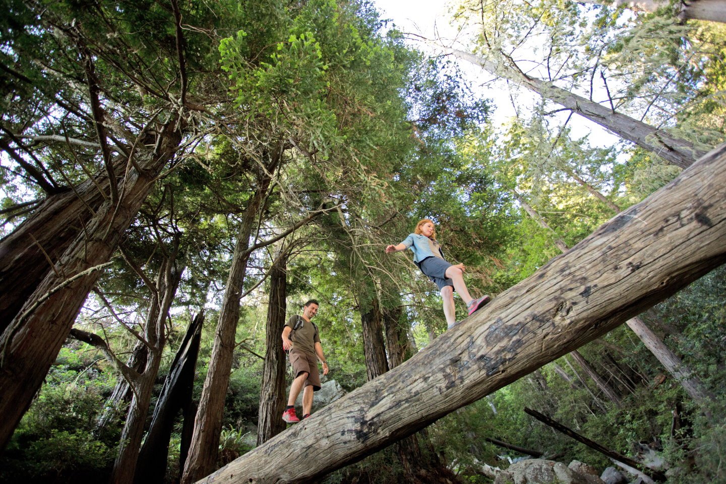
Trail Overview: This short hike takes you through towering redwoods, along a lush creek and across three scenic bridges. Continue through redwoods and other coastal trees as you walk toward the Limekilns. At the end of the trail you’ll find enormous furnaces that once supplied lime used for mortar in San Francisco. This hike is family friendly; however, dogs are not allowed on the trail.
Mill Creek Trail
Miles: 3.2 Miles Round Trip
Type of Trip: Out and Back
Difficulty: Moderate
Hiking Time: 2 – 3 Hours
Elevation Gain/Loss: 600 ft +/-
Location: Los Padres National Forest
Directions: Follow the Nacimiento-Fergusson Road just 0.1 mile south of Kirk Creek Campground. This trail begins just 0.8 miles up the road, after a large hairpin turn there is a large parking area on the left. The trailhead starts to the left side of the parking area near the bushes.
Trail Overview: Start this hike through the chaparral of the hillside and continue into the California bay trees. As you continue up the hill catching views of the coastline, you’ll find that the trail parallels with a creek. This trail eventually leads up to a deeply forested area with the Mill Creek running through. This trail crosses through uneven surfaces and may not be suitable for all ages, this trail is dog friendly and dogs must be on a leash.
Pacific Valley Bluff Trail
Miles: 2.2 Miles Round Trip
Type of Trip: Out and Back /Semi-Loop
Difficulty: Easy
Hiking Time: 1.5 – 2 Hours
Elevation Gain/Loss: 137 ft +/-
Location: North of Gorda
Directions: Drive about a mile North of Sand Dollar Beach in Big Sur, or four miles South of Mill Creek Campground, to reach the parking lot for this hike. Park at the Pacific Valley Station and the trailhead is directly across Highway 1.
Trail Overview: This bluff trail is a flat hike that takes you across the coastline. Continue along the bluff hiking through the rocks and grass until you reach a sandy dune. This hike is perfect for discovering coastal succulents and wildflowers. This hike is family-friendly and dog friendly, though dogs must be on a leash.
Salmon Creek Falls
Miles: 0.5 Mile Round Trip
Type of Trip: Out and Back
Difficulty: Moderate
Hiking Time: .50 – 1 Hours
Elevation Gain/Loss: 30 ft +/-
Location: Los Padres National Forest
Directions: Drive past Ragged Point for nearly 4 miles until you reach a large horseshoe bend on Highway 1. Pull over, park your car, and walk to the southern part of the parking area. You will find the trailhead past the creek, to the left of the guardrail.
Trail Overview: This short but rewarding hike takes you up the hillside and into the woody area of the coast. Follow the trail through large boulders that dot the trail and navigate your way over to Salmon Creek Falls. This hike brings you up close to the 120-foot waterfall with a large pool at the base. This hike has uneven surfaces and may not be suitable for the whole family. Dogs must be on a leash.
Soda Springs Trail
Miles: 1 mile
Type of Trip: Out and Back
Difficulty: Moderate
Hiking Time: 1 – 2 Hours
Elevation Gain/Loss: 500 ft +/-
Location: Los Padres National Forest
Directions: The Soda Springs Trail starts at a small pullout marked by the sign pictured at right which is easily seen on the inland side of Highway 1. The pullout is just 1.7 miles north of the Salmon Creek pullout, or 20.3 miles north of the Hearst Castle turnoff.
Trail Overview: This trail begins at a small dirt pullout where you will find the trail head at the southern part of the creek. Follow this trail up the coastal hillside and along Soda Creek. This trail offers variations to Buckeye trail and Salmon Creek falls. This trail is more challenging and is for experienced hikers, this is dog friendly, but dogs must be on leash.

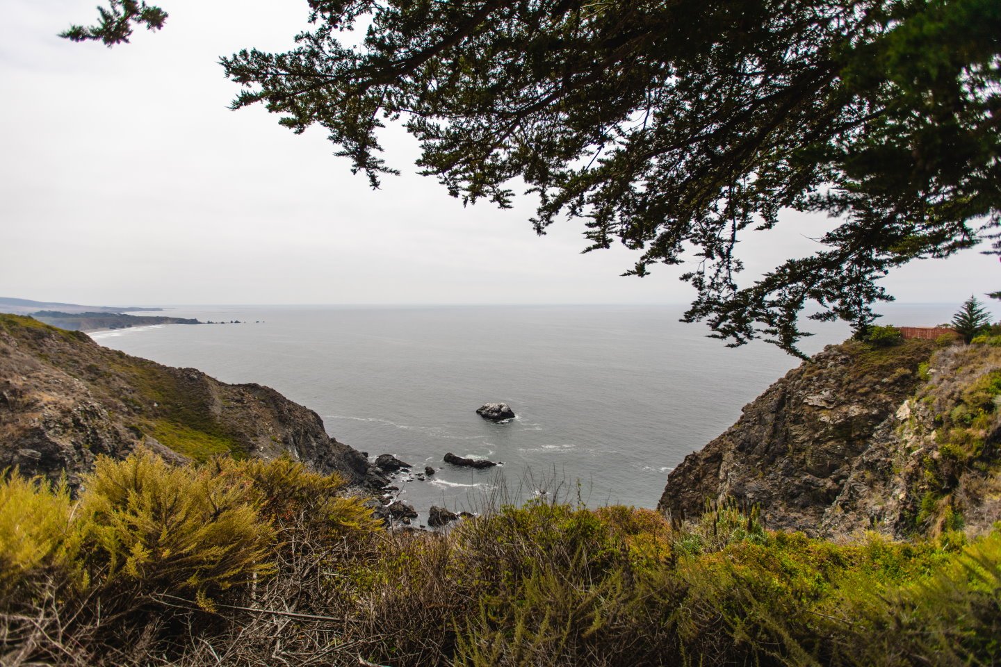
Hiking in San Simeon and Big Sur has amazing scenery, views and cool places to checkout.
Cambria Hiking
Fiscalini Ranch Preserve Bluff Trail
Miles: 1 Mile Round Trip
Type of Trip: Out and Back
Difficulty: Easy
Hiking Time: 1 Hour
Elevation Gain/Loss: 200 ft +/-
Location: Cambria
Directions: Drive Highway 1 to Cambria, you can find parking on South Windsor Street, the trailhead is located at the end of the street.
Trail Overview: This short hike takes you through the preserved bluff along the ocean in Cambria. This easy trail offers multiple benches to sit down and take in the salty air and ocean views. This unique trail offers connections to other loop trails that will bring you back to this and bisects to other trails for a longer hike. This hike offers the ultimate choose your own adventure. This is family-friendly and dog friendly, dogs must be on a leash.
Santa Rosa Creek Trail
Miles: 2 Miles Round Trip
Type of Trip: Semi-Loop
Difficulty: Easy
Hiking Time: 1 – 2 Hours
Elevation Gain/Loss: 200 ft +/-
Location: Cambria
Directions: Drive Highway 1 to Cambria and turn left onto Windsor Drive. The trailhead is immediately left across the bridge. There is parking there or at Shamel Park and walk back to the trailhead.
Trail Overview: This hike takes you into the Fiscalini Ranch Preserve, through grassy ranchlands and into the surrounding Pine trees. This hike shows you the why Cambria is called Pines by the Sea. This trail goes along Santa Rosa Creek creating great opportunities for birding and seeing local wildlife. This hike is family-friendly and dog friendly, dogs must be on a leash.
Santa Rosa Creek to Ridge Trail
Miles: 2.6 Miles Round Trip
Type of Trip: Semi-Loop
Difficulty: Easy
Hiking Time: 1 – 2 Hours
Elevation Gain/Loss: 200 ft +/-
Location: Cambria
Directions: Drive Highway 1 to Cambria and turn left onto Windsor Drive. The trailhead is immediately left across the bridge. There is parking there or at Shamel Park and walk back to the trailhead. Continue on the Santa Rosa Creek trail, there will be signage for the Ridge trail split.
Trail Overview: This hike takes you through the Fiscalini Ranch Preserve grassy ranchlands and into the surrounding Pine trees. Once you take the trail for the Ridge hike, you will be taken up into Monterey Pines with sweeping ocean views. This trail bisects many loops for exploring and finding the perfect vista of the coast. This is a family-friendly

